


13,8 km | 16,8 km-effort

Benutzer


Kostenlosegpshiking-Anwendung
 SityTrail
IGN / Geografische Institute
SityTrail World
Die Welt öffnet sich für Sie
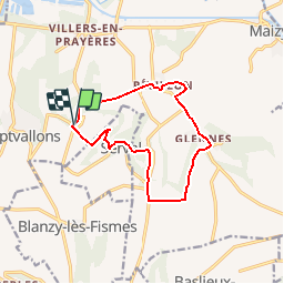
Tour Wandern von 11,1 km verfügbar auf Nordfrankreich, Aisne, Les Septvallons. Diese Tour wird von tracegps vorgeschlagen.
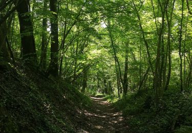
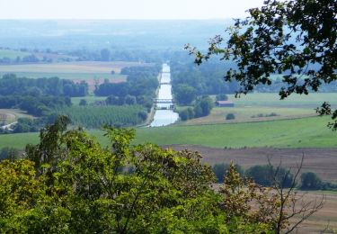
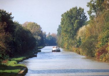
De plateau en gorge boisée et de vallée en plateau couvert de belles cultures, un circuit tout en montées et en descentes, qui offre de vastes panoramas, entre cinq villages riches de leur église et de leurs creuttes, ces curieux habitats troglodytiques. Toutes les infos sont ICI


Wandern
Wandern
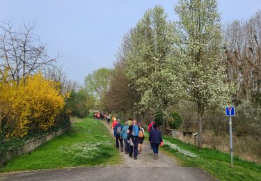
Wandern
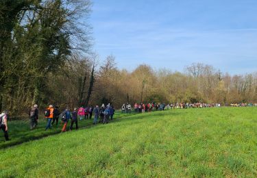
Wandern
Wandern
Mountainbike
Wandern
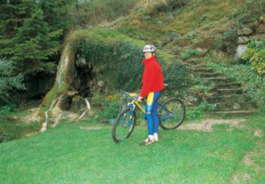
Mountainbike
Wandern